
São Jorge

The Brown Island
The elongated shape of São Jorge Island and the rhythmic sequence of cones that characterise its central part appear on the horizon as the wavy back of a prehistoric animal fast asleep. The plateau of the inner part of the island, where the volcanic cones that generated the island were born, gives way to high, steep cliffs that either come to an end in the deep blue sea or in small flat areas at sea level, the famous fajãs of São Jorge.
The green of the woods and of the semi-natural pastures, the brown farmland, the black rocky headlands, and the blue sea complete the palette of colours and shades. The presence of countless dragon trees and fragments of endemic vegetation in enclosed valleys protected from the action of man are some of the hallmarks of this island.
The association to brown seems to lie in the colours of the rock at the Rosais Headland. But it also could come from the dark tones of the cones of the central ridge. One has to understand the nature of the island while travelling through territory of repeated climbs and descents.
Volcanic Landscape
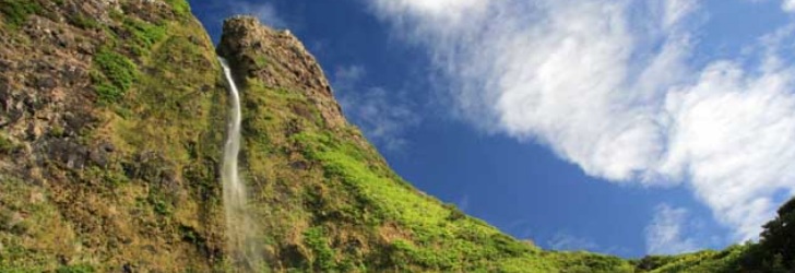
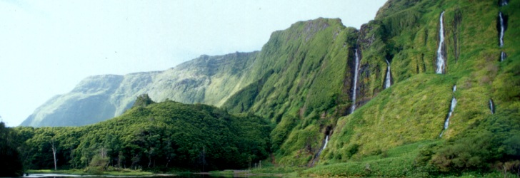
The fajãs, a designation equally used in the Macaronesian archipelagos of Madeira and Cape Verde, are the most iconic element of the island’s landscape. Flattened surfaces formed near the sea and framed by more or less imposing cliffs, the fajãs resulted either from lava flows that entered the sea (such as Fajã dos Bodes e de São João) or from the detachment of land and rocks from the cliffs (as is the case of Fajã dos Vimes) due to earthquakes, heavy rain or some other instability that affected the cliffs.
Fertile soils, a shield against the strong winds and fog that affect the higher central part of the island, and their favourable weather attracted the settlers for the permanent farming of these small plains, despite the difficult access to some of them. Beans, bananas, taro root, coffee, potatoes, oranges, everything seems to thrive in these areas, where the mighty dragon tree is not ashamed of growing. Over the years, the increasing demands of modernity and their vulnerability to the whims of nature led residents to abandon several fajãs, but many are still inhabited all year round or only at certain times of the year associated with agricultural activities and festivities.
The more than 70 fajãs of the island of São Jorge symbolise the natural beauty and isolation that have dominated the history of the island and offer extraordinary and unique panoramic views which are best enjoyed from the island’s network of trails. From the detrital fajãs of Cubres and Caldeira de Santo Cristo, with their coastal lagoons, to the lava fajãs of Velas, Almas and Ouvidor, there is a wide range of places to enjoy.
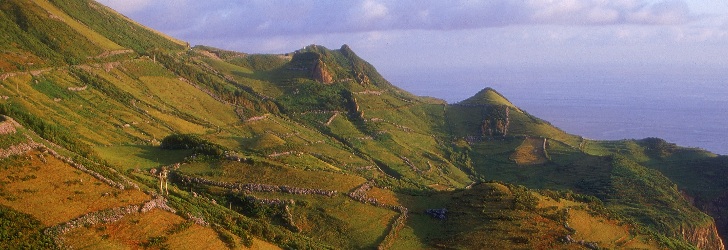
The volcanic nature of the island can be seen by roaming the roads and paths that meander through the central volcanic ridge of São Jorge, where two hundred small cones display their once active craters which are now gently occupied by small lakes, temporary ponds or bog areas. The peaks of Velha, Esperança and Areeiro have lookouts marked with signs that provide dazzling views over the coastline. When one raises the eyes, one finds the contour of Faial, Pico and Graciosa so far away and, at the same time, so close.
Crossing its bumpy inland is an invitation to get to known and enjoy the nature of São Jorge, where the craters of Bocas do Fogo (Mouths of Fire), active in 1808, are followed by a succession of semi-natural and natural pastures used by rabbits and common buzzards as a habitat. Bunches of hydrangeas enclose pastures and patches of Japanese cedar and Azores heather frame the island’s vegetation.
Coastline
In addition to its typical fajãs, the coastline of the island is characterised by the towering Rosais Headland, facing Faial, and the Topo Headland and Islet on the eastern side, which enhance the natural beauty of São Jorge and afford superb views over the ocean.
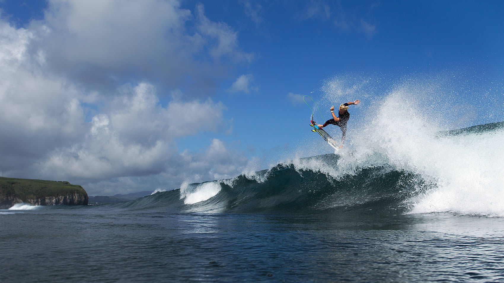
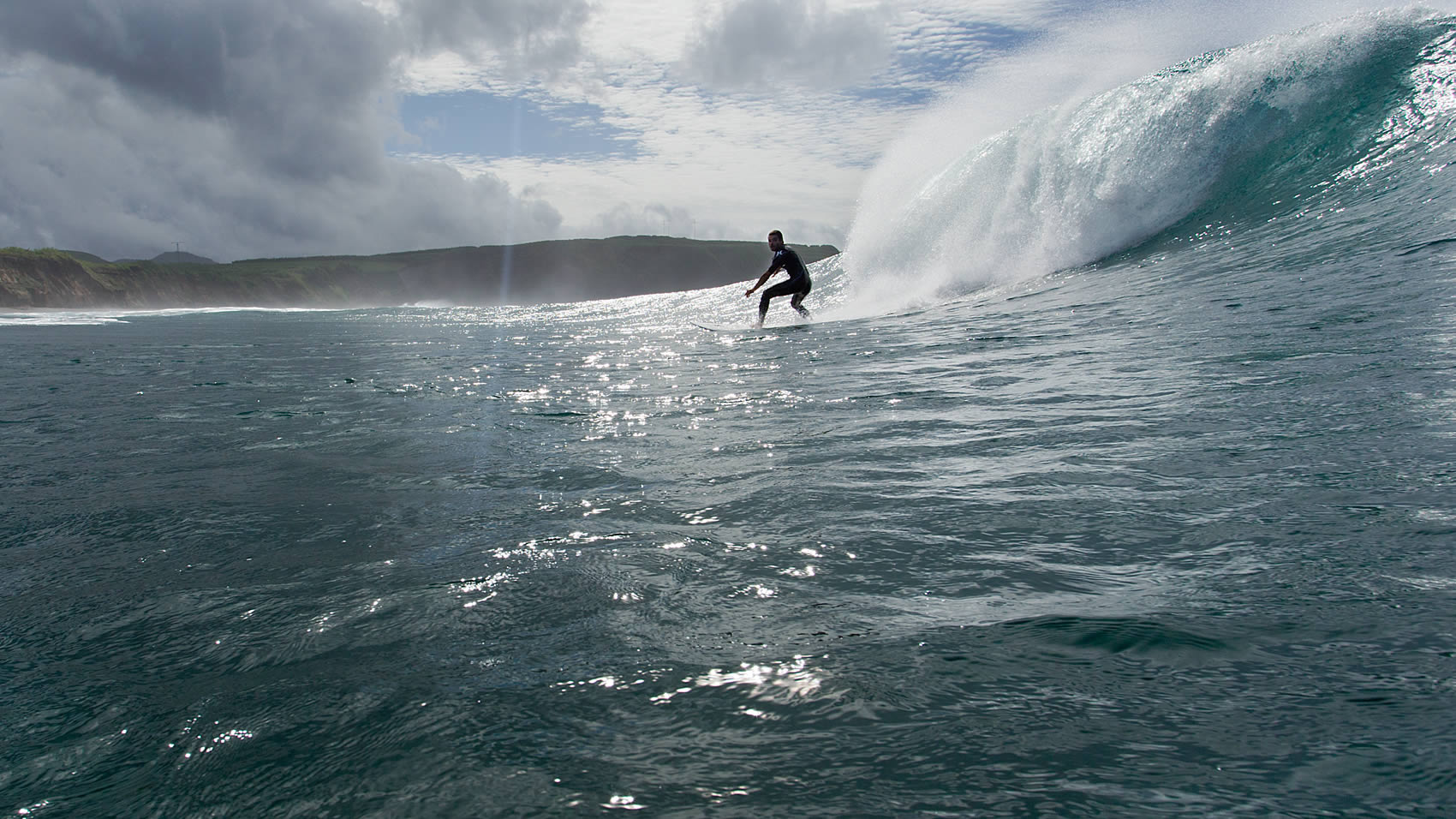
The island's coastline includes rocky and jagged tips that penetrate the sea, small and sheltered inlets, several-hundred-metre-high cliffs dropping almost vertically into the sea, and even submarine volcanic cones eroded by the sea, as is the case of Morro de Lemos and Morro de Velas.
Despite the relatively small area of the island, the extensive coastline which results from the elongated shape of São Jorge provides a vast mosaic of scenic places and framings, where visitors can look for the best angle for a special shot, taking advantage of the colour of the rocks, of the shades of the endemic and natural vegetation and of the grace of a sea bird at rest or in flight.
With a length of 54 km and a maximum width of 6.9 km, São Jorge Island features a long volcanic ridge stretching from northwest to southeast. The area of the island reaches 243.9 sq. km, and it is the home to 9.171 inhabitants (2011 data). The island of São Jorge is part of the Central Group and is one of the corners of the so-called "triangle islands" together with Faial and Pico, the latter of which is 18.5 km away. At an altitude of 1,053 m, Pico da Esperança is the highest point of the island and is located at 38°39'02'' north latitude and 28°04'27'' west longitude.

