
Graciosa
The White Island
Classified by UNESCO as a Biosphere Reserve, the island of Graciosa is the second smallest of the archipelago and is also the one with the least imposing terrain, with several flat areas and smooth hills. Pedras Brancas (White Stones), Serra Branca (White Hills) or Barro Branco (White Clay) are localities on the island whose name is related to the presence of a volcanic rock, the trachyte, which is common on the island and which, once rotten by the passing of time, gets a whitish colour which justifies the nickname of White Island.
Volcanic Landscape
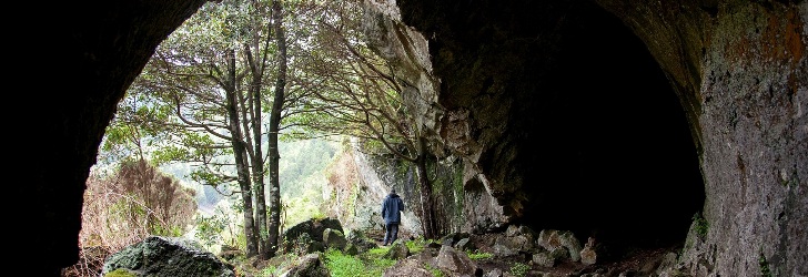
The Caldeira da Graciosa (Caldera of Graciosa) is the most iconic landscape feature of the island and corresponds to the elliptical depression that resulted from the collapse, with the diameter ranging from 1.6 to 0.8 km and the depth reaching 270 m. This depression is located at top of the volcano, the smallest central volcanic structure of the Azores. Climbing to the Furna da Maria Encantada (Maria Encantada Cave) or entering the caldera through a tunnel that provides access to it allow us to have an overview of the whole depression and of the abundant and thriving vegetation planted by man. cryptomeria, acacia, pine trees, and incense cover virtually all the walls of the caldera and contrast with the vegetation of other areas of the island.
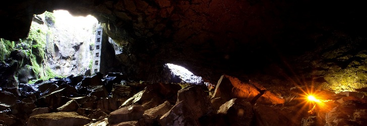
The Furna do Enxofre, an imposing volcanic cave, is located inside the Caldera. Communicating with the outside through two large cracks, the Furna do Enxofre (Sulphur Cave) features a perfect dome inside with a height of approximately 40 m in its central part. One reaches the interior through a tower built in the early 20th century, featuring a spiral staircase with 183 steps. The "cathedral" of the volcanic caves of the Azores showcases a lake of cold water and a mud fumarole responsible for the smell of sulphur, after which the cave is named and which is a reminder of its volcanic origin.
In turn, the Caldeirinha de Pêro Botelho is the only volcanic pit on the island, about 37 m deep. First explored in 1964 by the Association "Os Montanheiros", this deep hole allows us to recreate a journey of Jules Verne to the Earth's interior, but it is only recommended for experienced explorers provided they have all the necessary equipment.
The Pico Timão (Timão Peak) is one of the largest scoria cones on the island of Graciosa, and along with the Ponta Lagoa – Arrochela (Lagoa – Arrochela Headland), it resulted from the last volcanic eruption that took place on Graciosa approximately 2,000 years ago.
Coastline
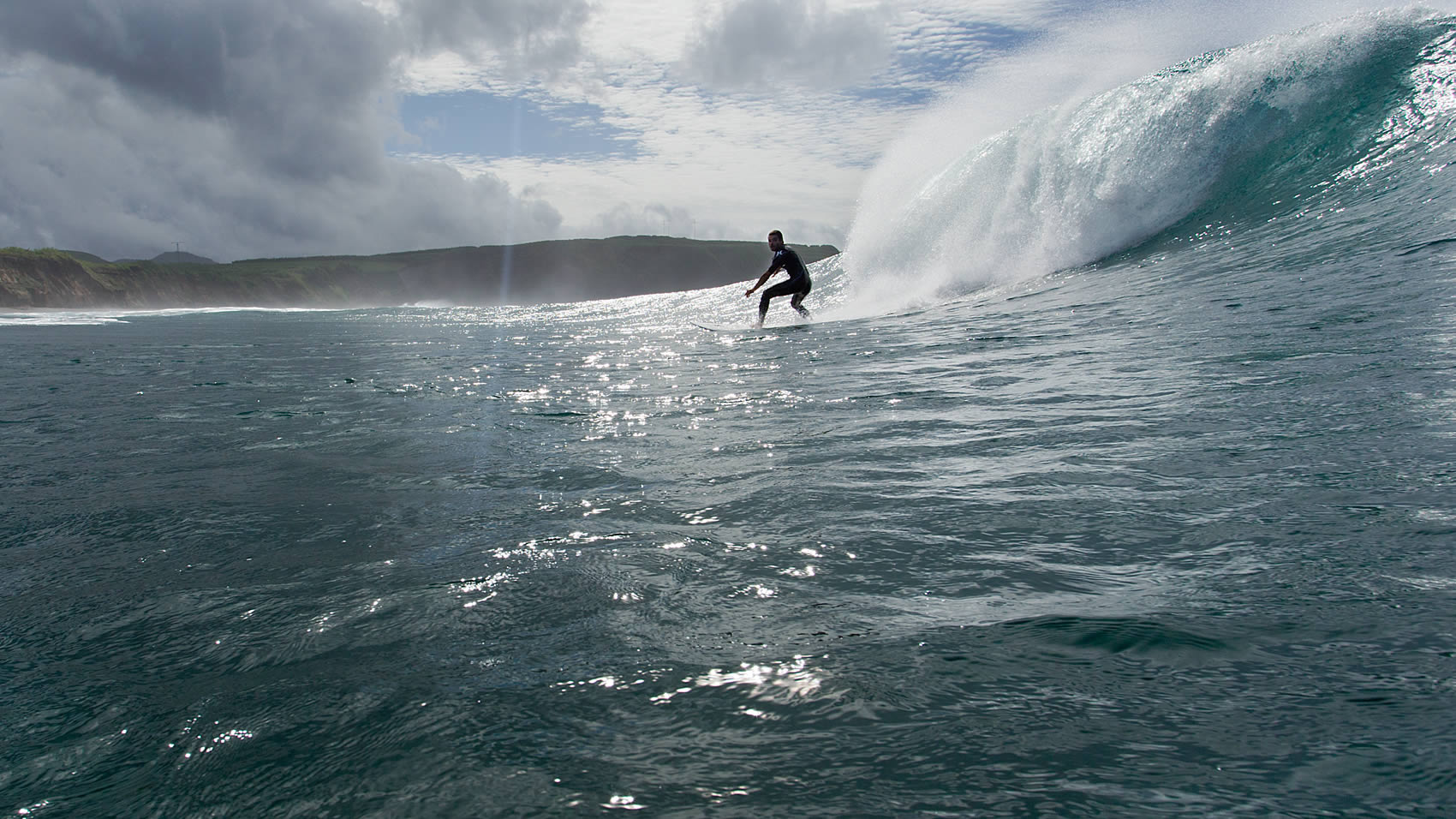
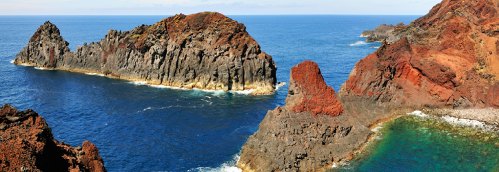
The rocky coastline is generous in the number of special views it provides. The high and steep cliffs of the Serra Branca and the Ponta da Restinga contrast with the low altitude of the coast in the bays of Vitória, Folga, Barra and Porto Afonso, and deserve special attention. The Praia Islet, in front of the island’s only sandy beach, stands out from the blue sea given the green vegetation that covers its surface and has been classified as a Special Protection Area, as it lies along the route of the Monteiro's Storm Petrel, the only seabird endemic to the Azores.
The Ponta da Barca Lighthouse showcases the highest tower among all the existing lighthouses in the Azores and affords a breathtaking view of the blue Atlantic Ocean and of a small rocky islet carved by the force of the sea. The brightness of the sunset enhances the surreal nature of the Ilhéu da Baleia (Whale Islet), a true symbol of the island of Graciosa and of the entire archipelago turned into a whale sanctuary.
The size of Graciosa, with 12.5 km in length and 7 km at its maximum width, provides the island with an elongated shape from the Northwest to Southeast. There are 4,391 habitants (2011 data) living on the island’s surface of 60.66 sq. It is the northernmost island from the five that make up the Central Group of the Azores Archipelago, with São Jorge, 37 km away, being the closest island. At an altitude of 405 metres, this island’s highest point is located in Caldeira at 39°01’17’’ latitude north and 27°57’59’’ longitude west.

