
Corvo
The Black Island
The landscape of Corvo is filled with black stone walls that divide properties. The barns, built with basaltic rock, are used to store the tools used in farming and fodder, and they add to the black stain that gave origin to the colour attributed to this island.
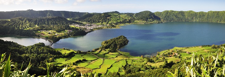
The entire island of Corvo corresponds to a main volcanic struture, with a caldera at the top (called Caldeirão) and about twenty secondary volcanic cones on its flanks and inside the caldera. It is thus a "volcano-island", the only one in the archipelago with these features.
The island’s landscape is dominated by green semi-natural pastures and dark stone walls that divide properties. Here and there, one sees barns with basalt walls, used to store the tools used in farming and fodder. The landscape has a reduced forest density, although we do come across Azores heather and Azores juniper (which is locally called zimbro), and there are several orchards with fruit trees, especially on the east side of the island. In the outskirts of Vila do Corvo, the only town on the island, agricultural fields are a common sight.
With the aim of contributing to the socioeconomic development of Corvo and of its people, focusing on the conservation of the island’s environmental and cultural heritage, the Biosphere Reserve of Corvo was established in 2007.
Volcanic Landscape
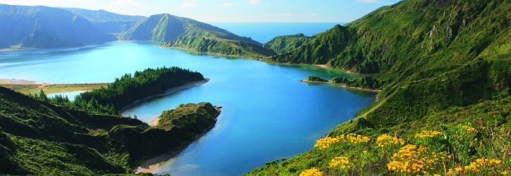
The Caldeirão is the main element of the island’s landscape and resulted from the collapse of the top of the central volcano of Corvo. This volcanic caldera has an elliptical shape, with a maximum diameter of 2.3 km and a depth of 305 meters. Its interior is filled by a shallow lake and several small volcanic cones that cut the body of water and that, many claim, outline the drawing of the Azores Islands. From the Caldeirão lookout, it is possible to see this vast volcanic depression and enjoy the quiet calmness that characterises this remote part of Europe.
Vila do Corvo is located in a lava fajã [flat area of land by the sea], which is the island’s main flat surface and which had its origin in basaltic lava that flowed from the Morro da Fonte, a scoria cone overlooking the town. The flow that formed this fajã is currently best seen along the coast, particularly in the form of coastal lava ridges. These ridges are visible between the Portinho da Areia and Ponta Negra and have an underwater extension (the so-called caneiros), a location of choice for divers who come to the island. The island’s last eruptive event occurred precisely in this fajã some 80,000 to 100,000 years ago and formed the basaltic lava flow that stretches from the area of Pão de Açúcar to the Alto dos Moinhos.
Coastline
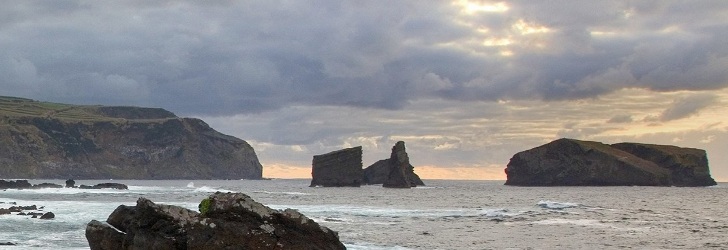
The entire island is surrounded by high, steep cliffs, especially in the north and west, due to the strong sea erosion it suffers and to the detrital nature of its volcanic formations. This erosion causes major rock and landslides and uncovers many basaltic dikes that cross the host formations, resulting in dense, complex and capricious sequences of intrusive formations.
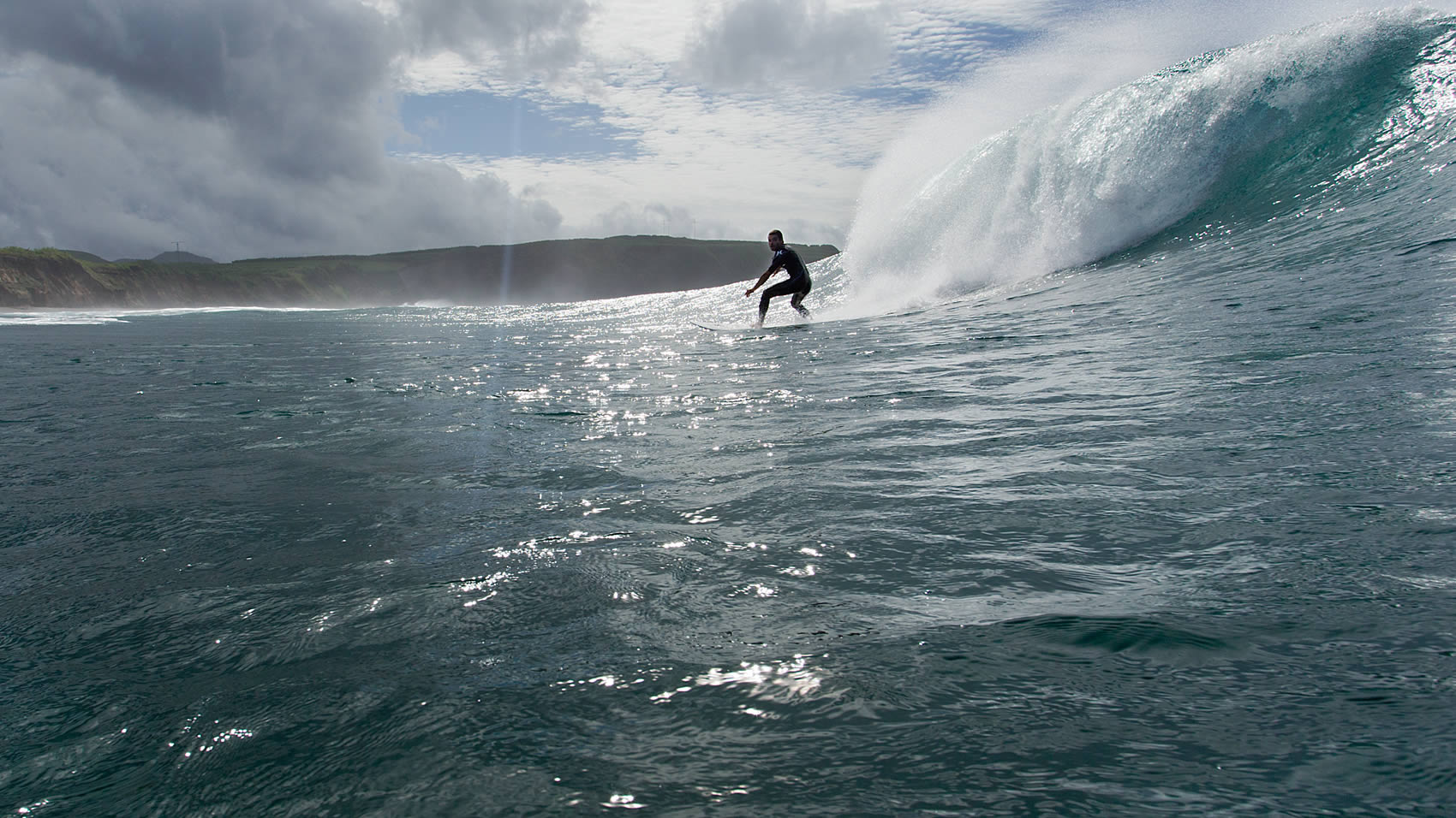
A boat trip around the island is an unforgettable experience, revealing its most inaccessible areas and allowing you to see beautiful landscapes and a large number of seabirds and some marine vertebrates, such as dolphins and whales.
The smallest island of the Azores is 6.24 km long and has 3.99 km at its maximum width. This oval shaped island stretches from north to south and has an area of 17.1 sq. km, with 430 people (2011 data) living there. The island of Corvo and the island of Flores, 17.9 km away, make up the Western Group of the archipelago. The highest point of the island, at an altitude of 720 m, is located in the area known as Estreitinho at 39°41'58'' latitude north and 31°06'55'' longitude west.

